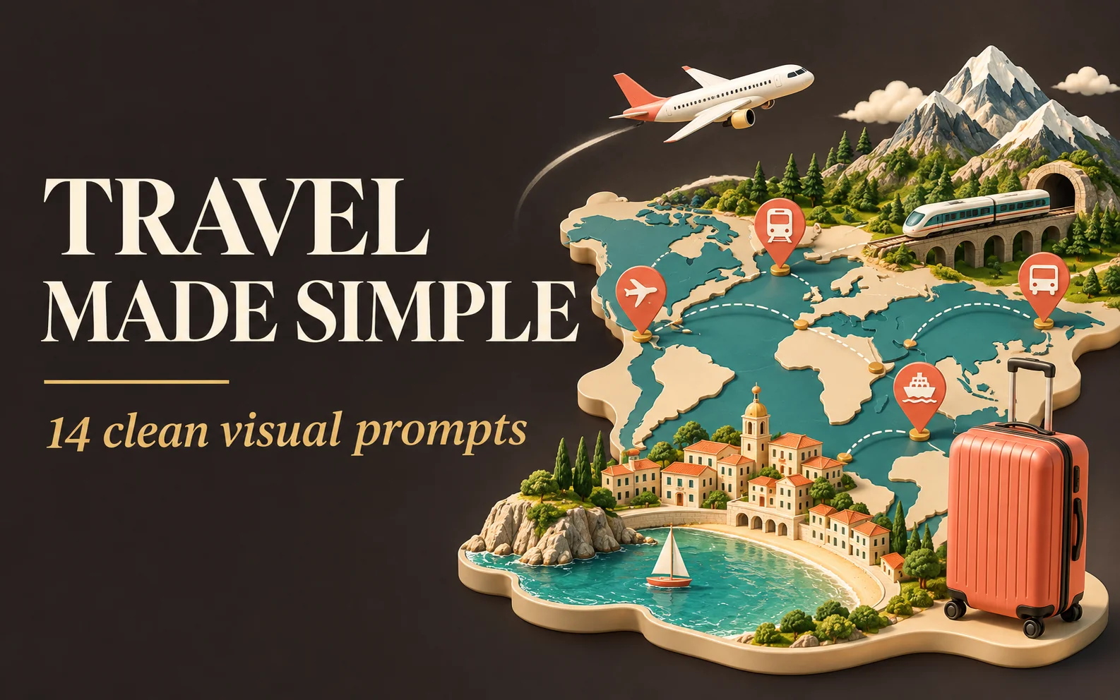
The Evolution of 3D Editorial Travel Infographics
Modern travel storytelling is no longer confined to static snapshot photography. Leading publications from National Geographic Traveler to Monocle and Airbnb Magazine rely heavily on 3D isometric infographics—stylized miniature worlds that distill entire cities into enchanting, digestible visual landscapes.
In AI generation, creating compelling travel infographics requires blending two distinct visual vocabularies: precise isometric 3D geometry (clean 30-degree orthographic angles, clean vector iconography) and photorealistic textural fidelity (translucent ocean waves, textured roof tiles, miniature trees, and atmospheric lighting).
The 12 prompt formulas below transform global travel hubs—from Kyoto's ancient shrines and Amalfi's cliffside villages to Swiss alpine ski runs and Paris café boulevards—into floating miniature 3D diorama islands packed with charm, wanderlust, and marketing versatility.
Pre-Shoot Checklist: Isometric Geometry & Micro-Landmarks
Before generating isometric travel graphics, verify these core compositional parameters:
True Isometric 3D Orthographic Projection:
Explicitly prompt: 'Isometric 3D diorama island, orthographic projection, 30-degree clean perspective, floating miniature city model'.
Signature Architectural Micro-Landmarks:
Name specific landmarks: 'miniature Fushimi Inari torii gates, red bullet train on tracks, traditional wooden machiya townhouses, blooming sakura trees'.
Clean Editorial Graphic Accents:
Incorporate infographic motifs: 'clean dotted travel route lines, tiny location pin markers, miniature airline boarding pass borders, clean vector typography labels'.
Warm Tactile Material Shaders:
Specify: 'matte clay shader mixed with photorealistic translucent water, clay-dough tactile style, soft ambient occlusion shadows, Octane render'.
By merging whimsical miniature scale with precise architectural landmarks, you create destination visuals that delight audiences across digital and print media.
Use a tool with reference-image support. Click Copy Prompt, then paste it alongside your own reference photo. Results and feature availability vary by tool.
1. 3D Terrain Travel Guide Infographic
4:5

A hyper-realistic 3D travel guide infographic poster for [COUNTRY]. The country shape is rendered as a raised, textured terrain map floating on a clean light gray surface. Iconic landmarks are placed as miniature 3D sculpted models at their correct geographic locations across the map — each one highly detailed and photorealistic. Roads or railway lines connect key cities as white paths across the terrain. Around the map, floating 3D decorative props related to travel are scattered: a vintage leather suitcase with travel stickers, a compass rose, crystal heart charms, and a postage stamp seal reading “Travel to COUNTRY.” The national flag of [COUNTRY] is shown as a small realistic folded flag in the upper right corner. Each major city has a bold black label on the map, and beside the map, each city has a neat checklist of its top attractions in clean sans-serif typography. A large bold title at the top reads: “TRAVEL GUIDE TO “COUNTRY”” in black uppercase typography with the word [COUNTRY] in heavy bold. The overall aesthetic is premium editorial travel content — soft studio lighting, photorealistic 3D render, white/light gray background, clean layout.
2. Country Map With Photo Annotations
1:1

Create an infographic image of [COUNTRY], combining a realistic photograph or photoreal render of the object with technical annotation overlays placed directly on top.
Use black ink–style line drawings and text (technical pen / architectural sketch look) on a pure white studio background, including:
•Key component labels
•Internal cutaway or exploded-view outlines
•Measurements, dimensions, and scale markers
•Material callouts and quantities
•Arrows indicating function, force, or flow (air, sound, power, pressure)
•Simple schematic or sectional diagrams where relevant
Include a small flag of the country in the top right corner.
Place the title [COUNTRY] inside a hand-drawn technical annotation box in one corner.
Style & layout rules:
•The real object remains clearly visible beneath the annotations
•Annotations feel sketched, technical, and architectural
•Clean composition with balanced negative space
•Educational, museum-exhibit / engineering-manual vibe
Visual style:
Minimal technical illustration aesthetic, black linework over realistic imagery, precise but slightly hand-drawn feel.
Color palette:
White background, black annotation lines and text only. No colors.
Output:
1080×1080, ultra-crisp, social-feed optimized, no watermark.
3. Landmark Photo and Blueprint Infographic
3:4
Create an infographic image of [LANDMARK], combining a real photograph of the landmark with blueprint-style technical annotations and diagrams overlaid on the image. Include the title “[LANDMARK]” in a hand-drawn box in the corner. Add white chalk-style sketches showing key structural data, important measurements, material quantities, internal diagrams, load-flow arrows, cross-sections, floor plans, and notable architectural or engineering features. Style: blueprint aesthetic with white line drawings on the photograph, technical/architectural annotation style, educational infographic feel, with the real environment visible behind the annotations.
4. Photoreal City Emerging From a Street Map
3:4
A street-style map of [CITY_NAME] placed on a {MAP_SURFACE}, with a photorealistic miniature version of [CITY_NAME] emerging from it [LANDMARK_1],[LANDMARK_2],[LANDMARK_3], [NATURE_ELEMENT], [URBAN_LIFE_ELEMENT], [ICONIC_TRANSPORT],and EXTRA_DETAIL.All elements grow from the map like a 3D urban diorama. Studio soft lighting, cinematic depth, 2:3 format
5. Isometric Waterfront City Diorama
1:1

Present a clear, side-facing isometric miniature 3D cartoon diorama of [CITY] along the [WATERFRONT]. The scene is a clean vertical cross-section slice — the city is cut open like a museum specimen, mounted on a small raised diorama-style base that exposes the full stratigraphy from rooftop to riverbed.
Above the waterline: a curated selection of [CITY]'s most iconic waterfront elements — layered building facades in local architectural style, embankment promenade, bridges, trams or cyclists, warm soft ambient lighting. Tiny stylized figures of residents in casual attire — walking, cycling, sitting at waterfront cafés (no facial details).
The water surface is a clean glassy horizontal band — cartoon-stylized, slightly transparent, acting as the visual threshold between the two worlds.
Below the waterline: the geographically honest submerged anatomy of [CITY]'s [WATERFRONT] — accurate foundation and piling types, real underwater infrastructure, sediment and substrate layers appropriate to this specific body of water, local aquatic life rendered in the same soft cartoon style. Tiny stylized fish, slow-drifting particulate, refracted light shafts filtering down from the surface.
The cross-section cut edge is razor-clean — pavement strata, foundations, soil layers, and underwater geology all simultaneously visible in the base wall, like a natural history diorama exhibit.
Style: soft refined textures, realistic PBR materials, immersive ambient lighting. Color language: warm amber and golden tones above the waterline, cold teal-green and deep indigo below, blending at the water threshold. Ultra-clean, high-clarity 3D cartoon diorama aesthetic.
Use a clean solid [BACKGROUND COLOR] background. At the top-center, display "[CITY]" in large bold text, and place the waterfront name or a city landmark silhouette emblem below the text. All text must automatically match background contrast.
Composition: perfectly centered layout, square 1080x1080.
6. Hand Painted Country Map
1:1
A hand-painted isometric bird’s-eye view illustration of [COUNTRY] in a vintage map style, featuring iconic landmarks and natural scenery unique to the country. The landscape should blend seamlessly with a parchment-colored map background, and include detailed miniature architecture, cultural symbols, and geographical elements. The country name '[COUNTRY]' should appear in bold serif text below the scene. Maintain warm, earthy tones and soft lighting for a classic, illustrated map feel. 1080x1080 dimension
7. Top Down Geographic Landmark Map
1:1
Ultra-realistic top-down geographic map with precise cartographic accuracy, clearly defining the true geographic context of [COUNTRY].
From the exact real-world coordinates of [CITY], a highly detailed miniature 3D diorama rises organically from the map surface, perfectly aligned with its true location.
The diorama features iconic architecture, signature natural landmarks, and authentic cultural elements of the city, seamlessly integrated into the map as if sculpted from it.
Physically accurate materials, realistic surface textures, and true-to-scale proportions.
Shallow depth of field with macro-lens realism, subtle atmospheric perspective.
Soft neutral studio lighting with controlled shadows to enhance depth and realism.
Cinematic composition, premium architectural-model photography style.
Ultra-sharp detail, high dynamic range, photorealistic finish.
Square 1:1 format, realistic scale, museum-quality visual output.
8. Isometric 3D Landmark Study
3:4
Create a highly detailed isometric 3D rendering of [LANDMARK] in architectural visualization style. The building is shown at a 45-degree angle from above, displaying three visible sides with intricate architectural detail. Photorealistic textures showing materials like stone, glass, metal, or brick. Include the base/ground level with tiny people, cars, and landscaping for scale. Clean white or light grey background. Professional architectural rendering with soft ambient shadows beneath the structure. Every window, column, ornamental detail, and structural element clearly visible. 1080x1080 dimension, centered composition. Style similar to video game building assets or architectural presentation models - clean, detailed, slightly stylized but realistic.
9. Photoreal Miniature City Model
1:1

A square, 1:1 photorealistic close-up photograph of an incredibly detailed physical miniature geography and city model of [CITY], focused only on the city’s most recognizable landmark area (not the full city map).
The scene shows a compact 3D topographic environment built around the iconic landmark zone — realistic terrain, elevation changes, nearby rivers or coastline if relevant, and surrounding urban density scaled naturally to highlight the landmark as the clear focal point. The model feels like a premium museum diorama rather than a map.
Thousands of tiny, highly detailed buildings, roads, bridges, and infrastructure cluster organically around the landmark. The landmark itself rises prominently above everything else, instantly recognizable even at a glance.
Strong natural side sunlight casts long, realistic shadows across the miniature terrain, enhancing depth and realism. Shallow depth of field (tilt-shift style) keeps the landmark zone sharply in focus while softly blurring the outer edges of the square frame. The entire scene appears as a tangible, physical model illuminated by real-world light.
Above the city, the sky is perfectly clean and empty — no clouds at all — except for the city name.
The name [CITY] appears integrated into the sky as thick, three-dimensional cloud typography, sculpted from dense white vapor. The letters are bold, volumetric, and clearly readable, with soft shadowing and subtle depth, floating naturally in the open sky. Opacity ~70%, but with enough thickness to remain instantly legible.
A small, minimal national flag is placed subtly near the sky text (corner or aligned to the typography), balanced and unobtrusive.
Format: Square 1080×1080
Style: Ultra-photorealistic, cinematic, premium miniature realism
Mood: Awe, clarity, instantly recognizable, highly shareable
10. Illustrated Travel Poster and Map
3:4

Create a stylized travel poster / graphic collage for [ALGERIA]. The main subject should be a stylish international tourist visiting [ALGERIA], clearly presented as a traveler and not a local resident. Show the tourist wearing modern travel fashion, with details such as a camera, backpack, sunglasses, map, or suitcase, exploring the culture and atmosphere of [ALGERIA]. Place the tourist in a dynamic composition surrounded by iconic architecture, streets, landscapes, landmarks, transportation, food, signage, and cultural elements associated with [ALGERIA]. Blend realistic character detail with a graphic collage background made of layered paper textures, torn poster edges, sticker elements, halftone dots, editorial typography, and bold geometric shapes. Include authentic visual motifs from [ALGERIA], but keep the tourist’s appearance and styling globally fashionable and clearly foreign to the setting. Add a large readable headline: “VISIT [ALGERIA]”. Modern, artistic, premium editorial travel poster aesthetic, balanced layout, print-worthy composition.
11. Isometric Architectural Landmark Diorama
16:9
A miniature isometric architectural diorama of [LANDMARK NAME], accurately reflecting its real-world structure and proportions, placed on a small floating base with subtle surrounding buildings and landscape elements inspired by [CITY / COUNTRY]. Realistic materials and natural textures, physically accurate stone, concrete, metal, and glass surfaces. True-to-life color palette based on the actual landmark, muted and realistic tones. Off-white studio background with soft, natural lighting, gentle shadows, and clean composition. High-detail, realistic yet refined 3D render, premium architectural model aesthetic, no people, no text.
12. Travel Souvenir Flat Lay
4:5

A flat-lay collection of exactly 9 hyper-realistic 3D resin fridge magnets arranged on a plain matte white surface, themed around [COUNTRY]. At the very top center, a wide rectangular text magnet spells "COUNTRY" in bold 3D block letters colored in the nation's flag colors. Below it, 8 magnets are arranged in a loose 3-column grid: 3 iconic architectural landmarks as highly detailed sculpted miniature reliefs (cathedrals, towers, castles, monuments), 1 famous painting or portrait reproduced inside a gold ornate picture frame magnet, 1 traditional food dish and 1 drink (wine bottle + glass, or beer stein, etc.) as glossy ceramic sculpted magnets, 1 illustrated vintage-style map magnet of the country with city markers, and 1 additional cultural symbol or landmark. Each magnet has a slightly raised 3D sculpted look with soft drop shadows on the white surface beneath. Warm studio lighting from above, photorealistic product render, perfectly clean white background, top-down flat-lay angle, 4:5 aspect ratio.
13. Floating Ingredients Food Infographic
9:16
Ultra-realistic cinematic food photography of a traditional Indonesian dish, presented as a floating ingredients infographic. The finished dish sits at the bottom in a ceramic bowl on a wooden surface. Above it, key ingredients float in mid-air in a clean vertical layout, each clearly separated and visually balanced. Thin minimalist pointer lines connect ingredients to elegant readable labels. Natural textures, hyper-detailed food surfaces, glossy sauces, steam rising gently, high-speed splash effects frozen in motion. Soft studio lighting mixed with natural daylight, shallow depth of field, premium editorial food poster style, commercial advertising quality, ultra-sharp focus, 8K resolution, realistic shadows, clean background.
14. Minimalist Recipe Infographic
3:4
Minimalist modern recipe infographic featuring [DISH NAME], top-down / 3-quarter food photography style. Finished dish centered on white ceramic plate. Surrounding floating ingredient icons with soft circular frames and vector illustrations. Curved step-by-step flow with numbered icons. Soft neutral background, gentle shadows, Scandinavian design aesthetic, editorial layout. Soft diffused lighting, ultra-sharp details, professional food styling, cinematic composition, 8k quality. Add a watermark of "nanoprompts" logo at the top corner, less opacity, very small but looks like a logo, size 11px, no background color.